Afghanistan - Thematic map
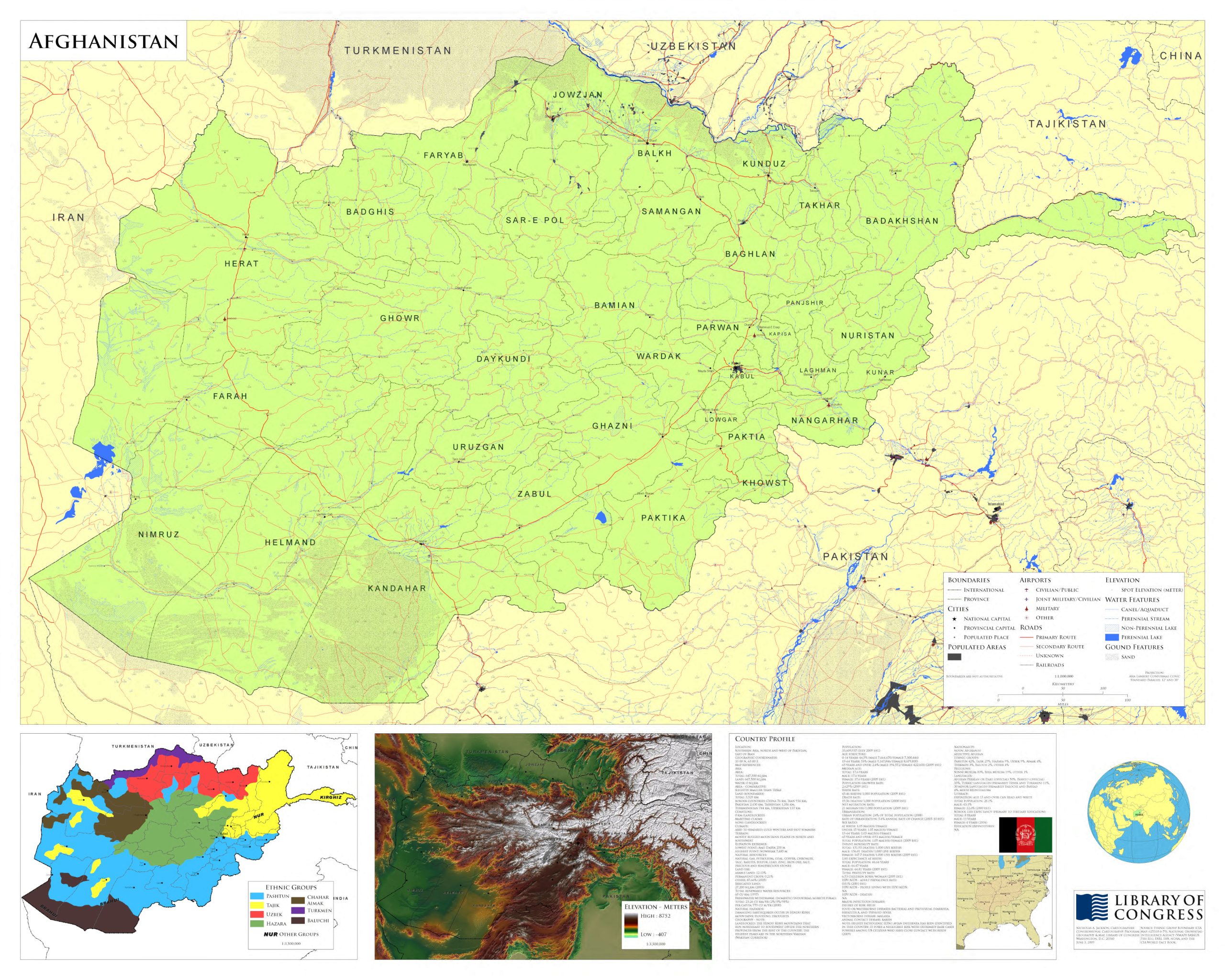
Thematic Map of Afghanistan "June 3, 2009." Relief shown by spot heights. Includes ethnological map of Afghanistan, remote-sensing map, comparative area map, country profile, source material note, location map, and col. ill. of national flag. Available also through the Library of Congress Web site as a raster image. Contributor: Jackson, Nicholas A. - Congressional Cartography Program (Library of Congress) Date: 2009
Jackson, N. A. & Congressional Cartography Program. (2009) Afghanistan. Washington, D.C.: Congressional Cartography Program. [Map] Retrieved from the Library of Congress, https://www.loc.gov/item/2009581085/.